


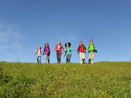
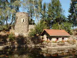
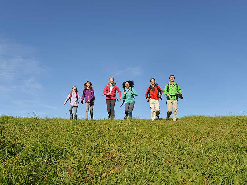
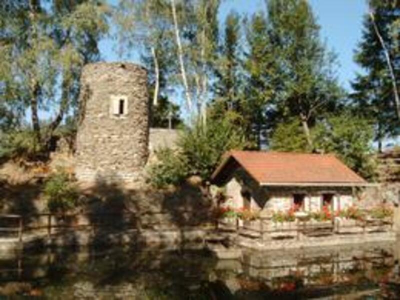
St. Agatha-Rundweg

Interactive elevation profile
Create PDF
Tour-Details
Path number: 116
Starting place: 4084 St. Agatha
Destination: 4084 St. Agatha
duration: 0h 36m
length: 2,3 km
Altitude difference (uphill): 21m
Altitude difference (downhill): 27m
Lowest point: 588m
Highest point: 623m
difficulty: very easy
condition: very easy
panoramic view: Some Views
Paths covering:
Asphalt, Hiking trail
powered by TOURDATA | Suggest a change
Wonderful view of the Alpine foothills Tour around the local area
Most economical season
- Spring
- Summer
- Autumn
- Early winter
Please get in touch for more information.
Schulweg 1
4084 St. Agatha
Phone +43 7277 825515
E-Mail info.st-agatha@oberoesterreich.at
Web www.st-agatha.at
http://www.st-agatha.at
Interactive elevation profile
Create PDF
Tour-Details
Path number: 116
Starting place: 4084 St. Agatha
Destination: 4084 St. Agatha
duration: 0h 36m
length: 2,3 km
Altitude difference (uphill): 21m
Altitude difference (downhill): 27m
Lowest point: 588m
Highest point: 623m
difficulty: very easy
condition: very easy
panoramic view: Some Views
Paths covering:
Asphalt, Hiking trail
powered by TOURDATA | Suggest a change
Suggest changes
Please let us know how we can improve the quality of this object or if there is any incorrect information on this page (eg. opening hours, contact, etc.).
Please fill in all fields marked *.